
📊 Full opportunity report: What Makes OlmoEarth’s AI Platform A Leader In Planetary-Scale Geospatial Analysis? on ThorstenMeyerAI.com — validation score, market gap, and execution plan.

Get the latest gadgets delivered free — and shop member deals
- Fast, free delivery on millions of items
- Access to Prime Big Deal Days deals on October 6–7
- Prime Video, Amazon Music and more included
TL;DR
Ai2 has introduced the OlmoEarth platform, capable of processing vast satellite datasets across large regions in roughly 24 hours. While performance claims are promising, independent verification is pending. This could significantly accelerate environmental monitoring efforts worldwide.
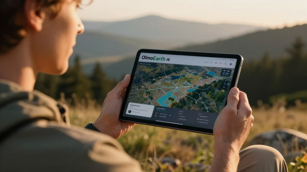
Ai2 has unveiled the OlmoEarth platform, a large-scale infrastructure designed to run Earth-observation models across regions as extensive as entire continents in approximately one day. For more details, see the original analysis. This development aims to enable governments and environmental organizations to produce detailed, large-area maps more quickly and efficiently, without building their own high-performance infrastructure.
The OlmoEarth platform leverages a combination of CPUs and GPUs to process dozens of terabytes of satellite imagery, dividing regions into smaller partitions for parallel processing. This approach exemplifies advancements in geospatial inference at planetary scale. Ai2 reports that, in a recent wildfire risk mapping project across North America, the system used nearly 20,000 CPUs and 1,000 GPUs at peak, reducing what would traditionally take over 4,700 hours to just over 30 hours—an estimated 155-fold speed increase. The platform supports Ai2’s OlmoEarth models, pretrained on approximately 10 terabytes of multimodal satellite data, which are adaptable for applications such as deforestation monitoring, food security, and wildfire risk assessment.
While Ai2 claims these performance metrics, independent verification has not yet been provided, and details regarding cost, deployment options, and operational reliability remain limited. For a comprehensive overview, see the original analysis. The platform’s architecture involves partitioning large regions into smaller processing windows, with separate machines handling imagery retrieval, inference, and final map assembly, aiming to optimize resource use and cost-efficiency.
Potential Impact on Large-Scale Environmental Monitoring
If the performance claims hold, OlmoEarth could revolutionize how large-area environmental data is collected and analyzed, enabling faster responses to crises such as wildfires, deforestation, and agricultural changes. By providing a scalable, accessible infrastructure, it reduces the technical barrier for organizations lacking extensive machine-learning and geospatial processing expertise, potentially accelerating global efforts in conservation and resource management.
However, the actual utility of the platform depends on the accuracy of the models, the reproducibility of performance claims, and the ease of access for users worldwide. The ability to produce reliable, validated maps at such scale could significantly influence policy decisions and operational responses, but further validation and transparency are needed.
satellite imagery analysis software
As an affiliate, we earn on qualifying purchases.
As an affiliate, we earn on qualifying purchases.
Background on Large-Scale Geospatial Infrastructure Development
Large-scale Earth observation has historically required significant investment in hardware, data management, and technical expertise. Existing platforms often struggle with the scale, speed, and cost of processing satellite imagery across large regions. Ai2’s OlmoEarth aims to address these challenges by offering a unified infrastructure capable of ingesting, processing, and analyzing petabyte-scale datasets efficiently.
Prior efforts, such as cloud-based solutions and open models, have improved accessibility but still face limitations in speed and operational deployment at continental scales. Ai2’s previous work with platforms like Skylight and EarthRanger provided foundational experience, now applied at a larger scale with OlmoEarth’s infrastructure designed for real-time, large-area inference.
“OlmoEarth represents a significant step toward operationalizing large-scale geospatial inference, bringing unprecedented speed and scale to Earth observation.”
— Thorsten Meyer, AI researcher
As an affiliate, we earn on qualifying purchases.
Unverified Performance and Accessibility Details
Ai2 has not released independent benchmarks to confirm the claimed processing speeds or costs. It remains unclear how the platform performs across different sensors, cloud conditions, or geographic regions. Additionally, details about access, pricing, and user requirements are not yet publicly available, raising questions about the platform’s practical deployment and reliability in diverse operational settings.
environmental monitoring satellite data
As an affiliate, we earn on qualifying purchases.
As an affiliate, we earn on qualifying purchases.
Next Steps for Validation and Broader Adoption
Independent organizations and researchers are expected to test OlmoEarth’s capabilities across various datasets and conditions. Ai2 may publish benchmarking results, access terms, and case studies demonstrating real-world applications. Monitoring these developments will clarify whether OlmoEarth can deliver on its performance promises and become a standard tool for large-scale geospatial analysis.
As an affiliate, we earn on qualifying purchases.
Key Questions
What exactly is the OlmoEarth platform?
OlmoEarth is Ai2’s infrastructure for processing, fine-tuning, evaluating, and deploying Earth-observation models at a continental scale, supporting large-area satellite data analysis.
How fast does Ai2 claim OlmoEarth can process large regions?
Ai2 states that the platform can process regions as large as entire continents within approximately 24 hours, with a recent wildfire map in North America completed in about 30 hours.
What data was used to train the OlmoEarth models?
The models were pretrained on roughly 10 terabytes of multimodal satellite data, encompassing various spectral bands, sensors, and observation times.
Who can use the OlmoEarth platform?
Ai2 suggests that governments, NGOs, and other mission-driven groups could access the platform, but specific terms, costs, and access procedures have not yet been disclosed.
What are the main limitations or uncertainties right now?
Performance benchmarks and operational reliability are unverified by independent sources, and details about deployment, costs, and model accuracy in different contexts remain unclear.
Source: ThorstenMeyerAI.com
Fall Picks
fall essentials
As an affiliate, we earn on qualifying purchases.